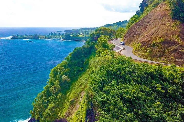
A flat finger of black lava that Haleakalā pushed into the sea, covered in taro patches that Hawaiians built by carrying soil down the valley. It is still a working farming community, and its 1856 lava-rock church was the only building to survive the 1946 tsunami.
Why we love it
Few places show Hawaiian farming so clearly: green taro patches, a stone church and waves crashing on black rock, all in one view.
What to expect
Most people see it two ways: from the roadside lookout near mile marker 17 for the bird’s-eye view of the taro patchwork, then by driving down Keʻanae Road to the peninsula itself. The road ends near the shoreline, where surf hits the jagged lava. The families here farm for a living, so view the taro patches from the road, keep voices down, and park only where it’s clearly allowed. The 1856 church is still a place of worship. Aunty Sandy’s banana bread stand is on the peninsula. Allow 30–45 minutes.
Know before you go
- Where
- The peninsula turnoff and the lookout are around mile markers 16–17 on the Hāna Highway, just past the Keʻanae Arboretum.
- Don’t swim
- The ocean here is extremely dangerous, with strong currents and sharp lava rock.
- Private farms
- Taro patches are private, family-run farms. View them respectfully from the road.
- Church
- Lanakila ʻIhiʻihi o Iehowa Ona Kaua (Keʻanae Congregational Church), built in 1856, is still active. Be quiet and respectful.
- Banana bread
- Aunty Sandy’s often sells out by afternoon and is closed Sundays.