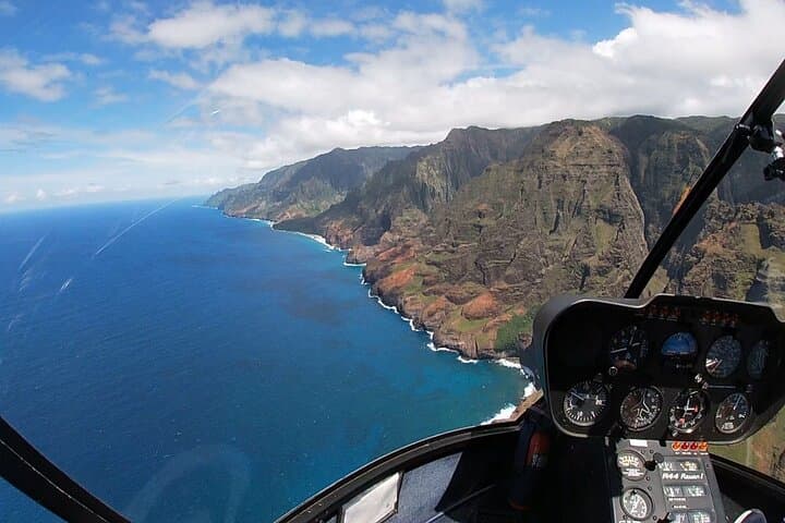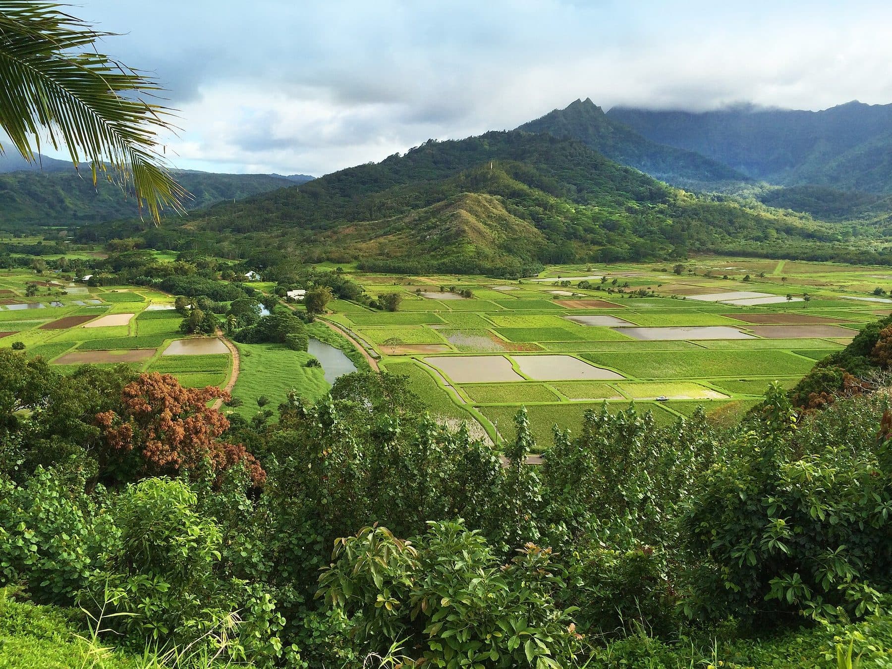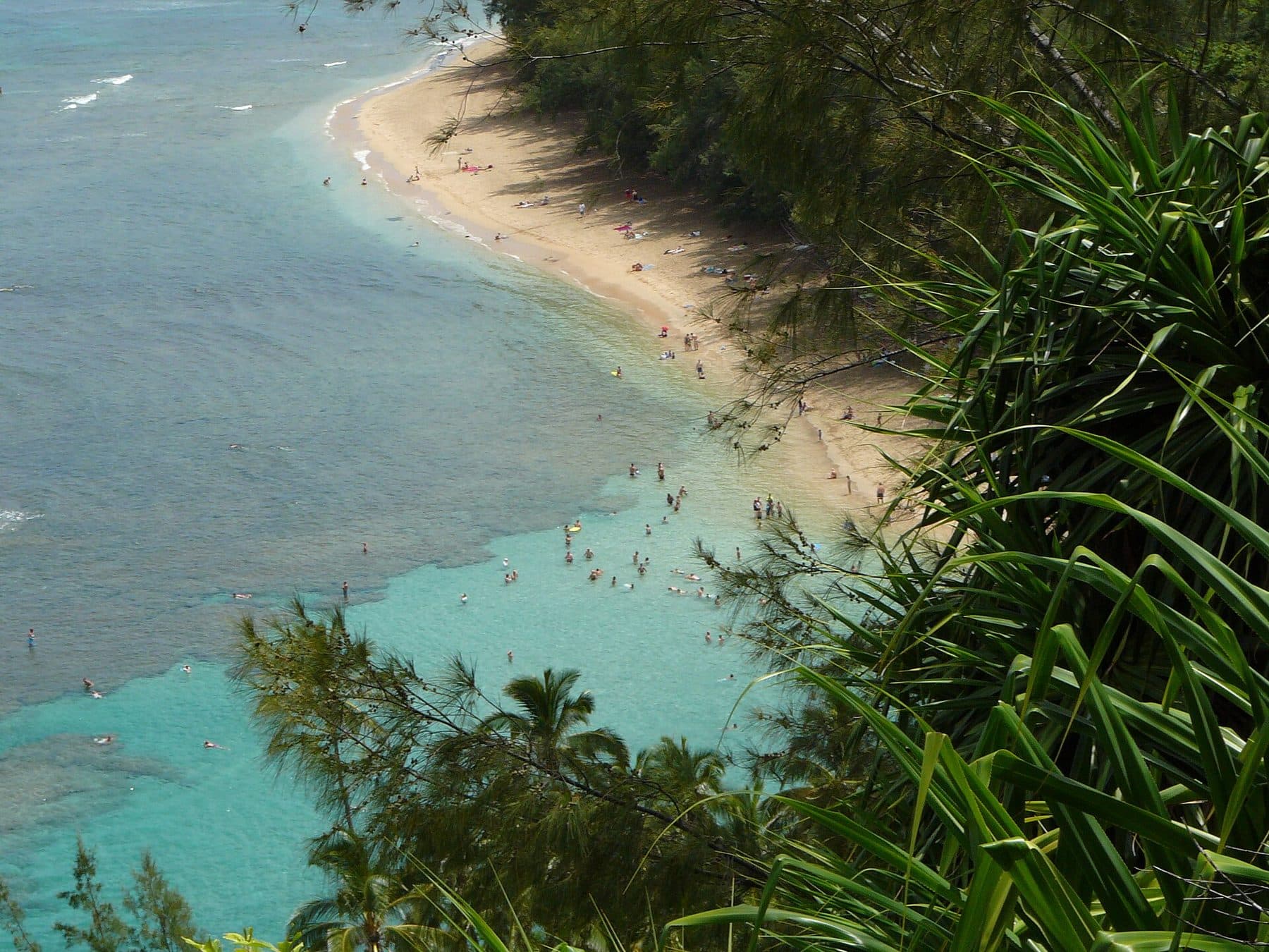
The first 2 miles of the Kalalau Trail climb and drop along the Nāpali Coast from Kēʻē Beach to Hanakāpīʻai Valley and its boulder beach. A rugged spur continues about 2 more miles inland to Hanakāpīʻai Falls. DLNR puts the full beach-and-falls hike at 8 miles round trip.
Why we love it
It’s the only way to stand on the Nāpali Coast without a boat or permit, and the views back toward Kēʻē in the first half-mile are worth the reservation alone.
Current conditions: Day hiking to Hanakāpīʻai Beach, Valley and Falls reopened Oct. 15, 2026 with Hāʻena State Park. The trail beyond the 2-mile point and all Nāpali camping remain closed until further notice after Hurricane Lowell.
What to expect
The trail is narrow, rocky and often muddy, with steep climbs and descents and sea-cliff views. Hikers commonly report about an hour and a half each way to the beach at a moderate pace. At Hanakāpīʻai you cross a stream, which can flood dangerously in minutes. DLNR says people have died trying to cross it, and the stream at flood stage has swept hikers out to sea. Swimming at Hanakāpīʻai Beach isn’t recommended because of rip currents. The falls spur adds many stream crossings and rough footing. There’s no cell service.
Know before you go
- Permits
- A Hāʻena reservation covers the day hike to Hanakāpīʻai Beach and Falls. Going past Hanakāpīʻai requires a Nāpali Coast camping permit.
- Status
- As of Oct. 2026, the trail beyond the 2-mile point and all camping are closed until further notice.
- Flash floods
- Never cross a flooded stream. Wait on high ground for the water to drop. DLNR closes the trail ahead of flood warnings.
- Ocean
- Don’t swim at Hanakāpīʻai Beach. Rip currents and wave patterns there are deadly.
- Gear
- Wear sturdy shoes and bring rain gear and plenty of water. Stream water isn’t safe to drink untreated.
- Emergencies
- There’s no cell reception along the coast. Tell someone your plan.
Photo: The original uploader was MattWright at English Wikipedia. via Wikimedia Commons · CC BY 2.0